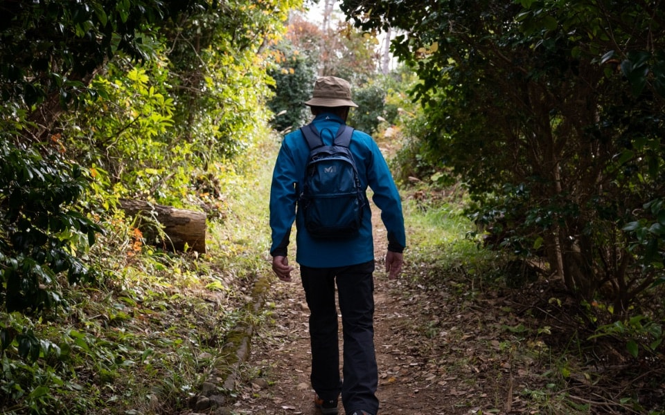
TREKKING
Course
 Michinoku Shiokaze Trail
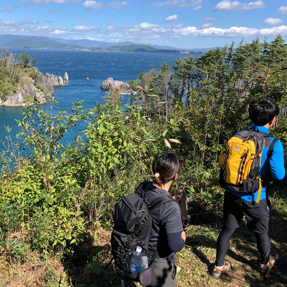
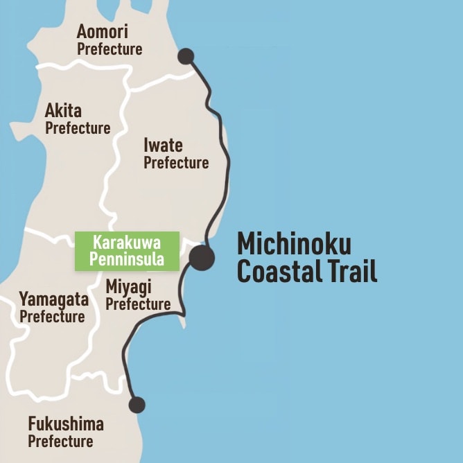
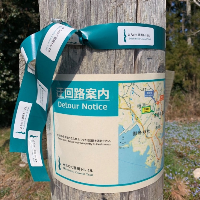
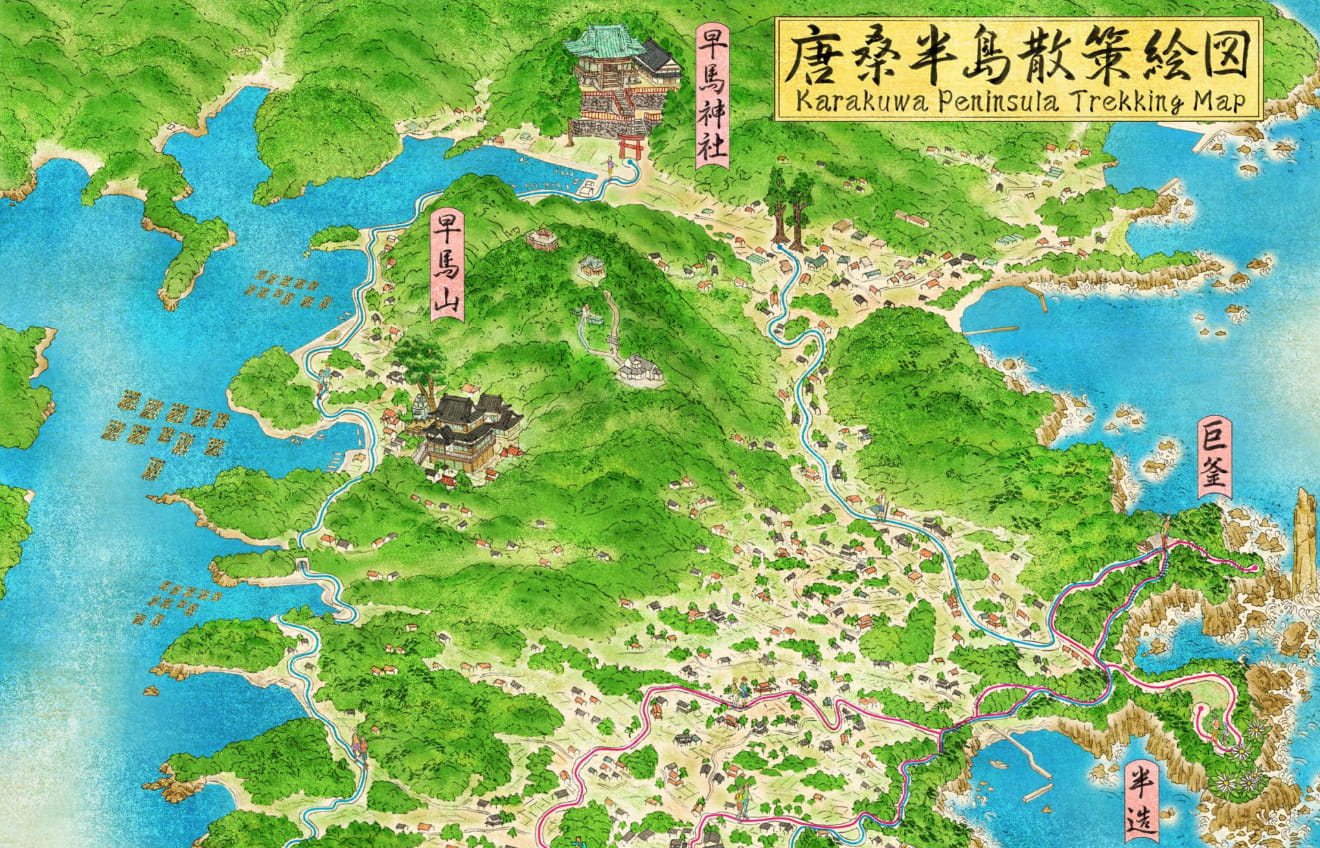
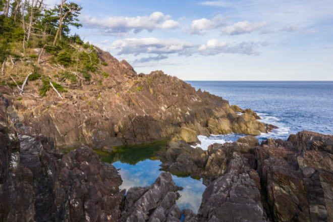
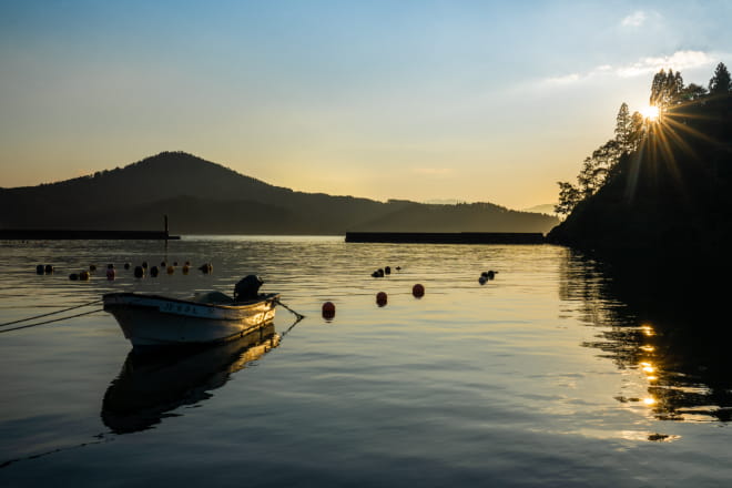
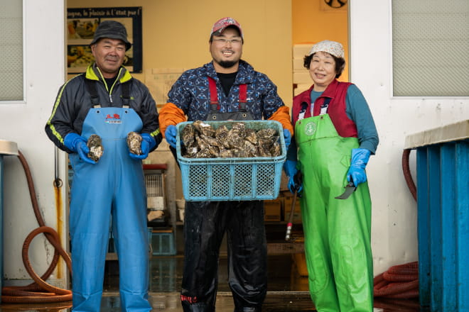
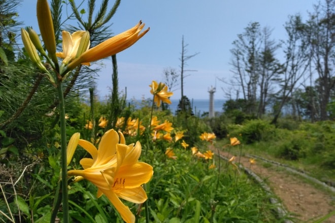
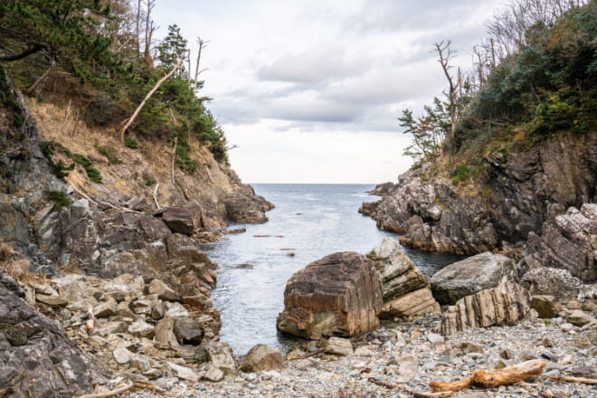
The Tohoku region of Japan was severely damaged by the 2011 earthquake and tsunami, and as part of the reconstruction project, a long trail called the Michinoku Coastal Trail, which connects approximately 1,000 km along the Pacific coast, was opened in 2019. On this trail, there are many spots where you can enjoy dynamic views of the sea, such as along the steep cliffs of the ria coastline, which is jagged with many inlets. You can try taking on the whole route over several months, or you can choose to walk just a part of it over just a day or two. Karakuwa Peninsula in Kesennuma is a part of this course, and the section of the course that passes through here is quite special. You can enjoy, not only the rich nature of a national park, but also the different views of the sea on the east and west coasts of the peninsula. The east side faces the Pacific Ocean, and its majestic, rough seas and dynamic rock surfaces are breathtaking. You can see the "Tsunami Stones" brought in from the sea by the 2011 tsunami and Oreishi, a huge stone pillar whose tip was broken off by a tsunami in 1896. On the western side, the rich nutrients from the mountains flow into the sea, making it the perfect environment for cultivating oysters and scallops. You can see beautiful oyster farming rafts floating on pristine water and watch fishermen at work on fishing boats.
1-day course
Distance : About 19.6km
Travel time : About 6 hours and 32 minutes
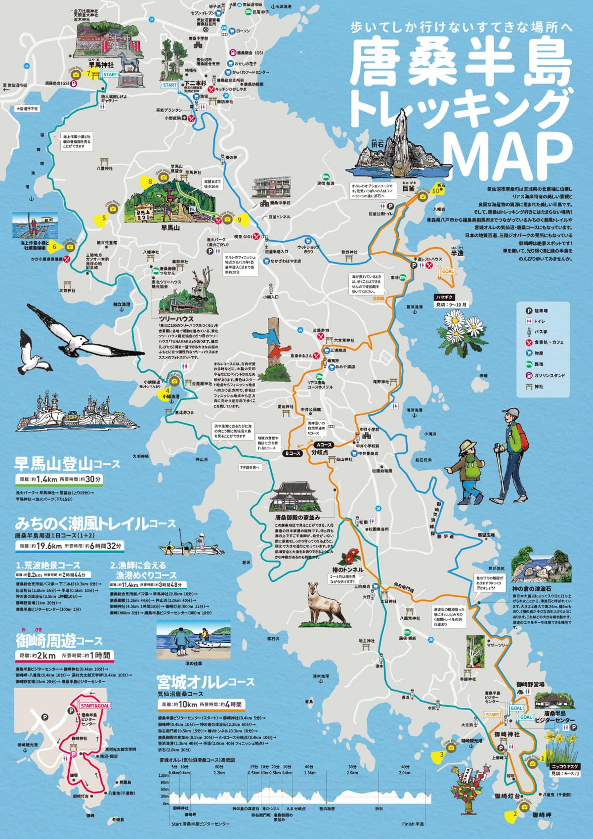
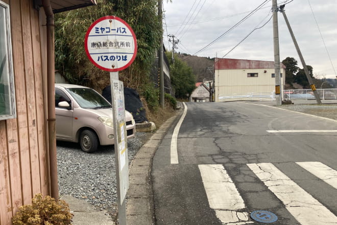
Karakuwa Sōgoshishomae Bus Stop
Learn More
3.1km (1 hour 2 minutes)
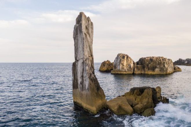
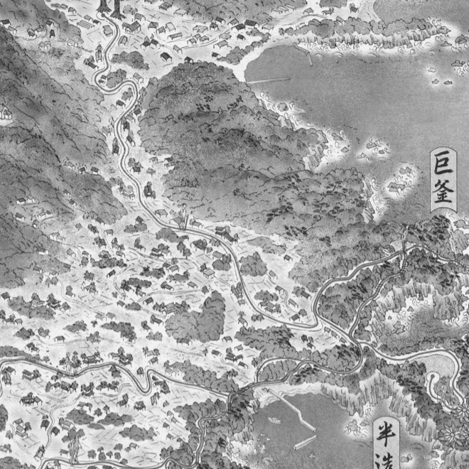
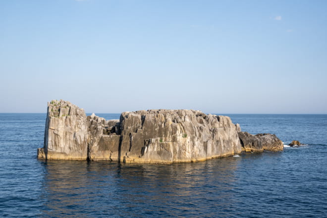
Oreishi (Ogama)
Learn More
0.5km (10 minutes)

Hanzō
Learn More
0.5km (10 minutes)
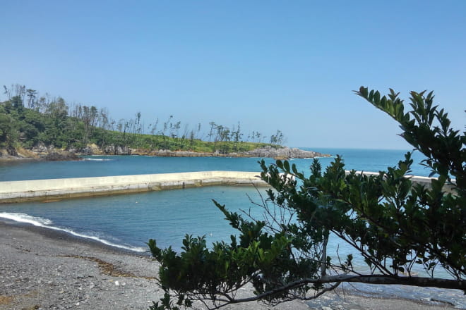
Sasahama Fishing Port
Learn More
3km (1 hour)

Kannokura Tsunami Stones
Learn More
1.1km (22 minutes)

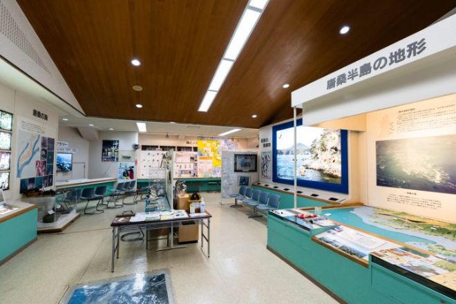
Karakuwa Visitor Center, Tsunami Experience Hall
Learn More
0.4km (8 minutes)
Onuma / Menuma
Learn More
0.5km (10 minutes)

Osaki Misaki
Learn More
0.5km (10 minutes)

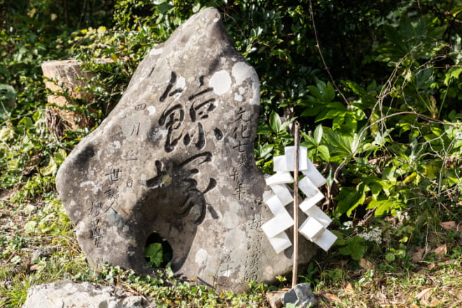
Kujira Tzuka
Learn More
0.1km (2 minutes)

Osaki Shrine
Learn More
5.6km (1 hour 52 minutes)
Kosaba Fishing Port
Learn More
1.3km (26 minutes)
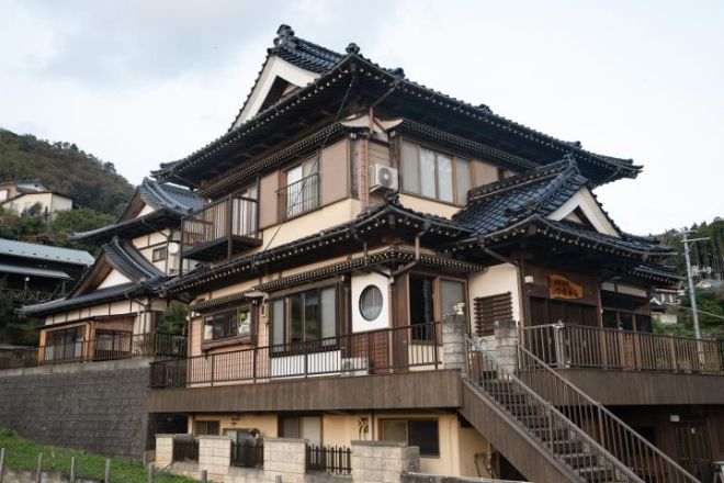
Karakuwa Goten (Fisherman House)
Learn More
0.7km (14 minutes)
Karakuwa Banya Oyster Hut
Learn More
1.5km (30 minutes)
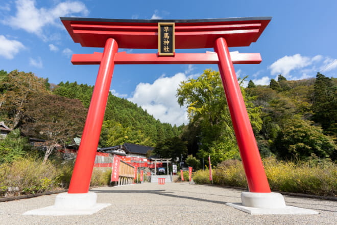
Hayama Shrine
Learn More
0.8km (16 minutes)

Karakuwa Sōgoshishomae Bus Stop
Learn More
View More
 Miyagi OLLE
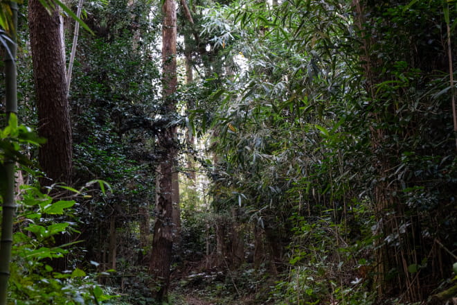
Olle is a 10-km walk along the rugged coastline and mysterious forest paths on the Pacific side of the Karakuwa Peninsula in Kesennuma. Its name comes from the Jeju Korean dialect, meaning "a narrow pathway leading from the street to the house. The Karakuwa Peninsula has prospered from fishing since ancient times. There are shrines where local people pray for safety at sea and "Karakuwa Goten" houses, which were built by fishermen who prospered in the fishing industry, can be found all over the peninsula. The course includes the gardens and alleys of these houses, and you can catch a glimpse of the lives of local people who have lived with the sea. There are three markers along the route, so that you can enjoy hiking without a map:
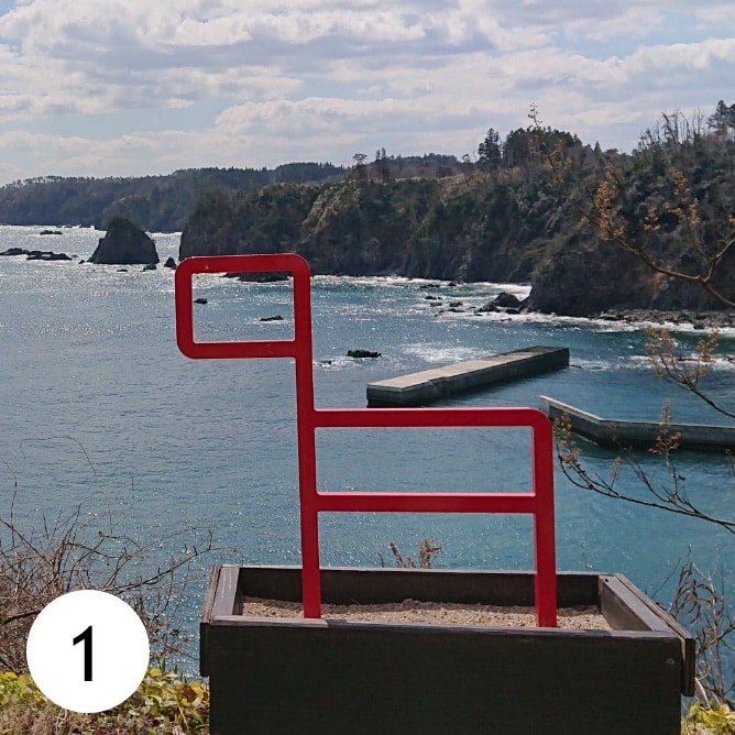
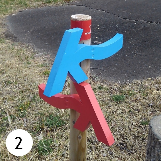
(1) Go in the direction of the head of the "kanse", the symbol of Olle, which represents a wild horse.
(2) Follow the arrows at the fork in the road, or when you change directions. Blue points towards the “finish” point of the course, while red indicates the “start.”
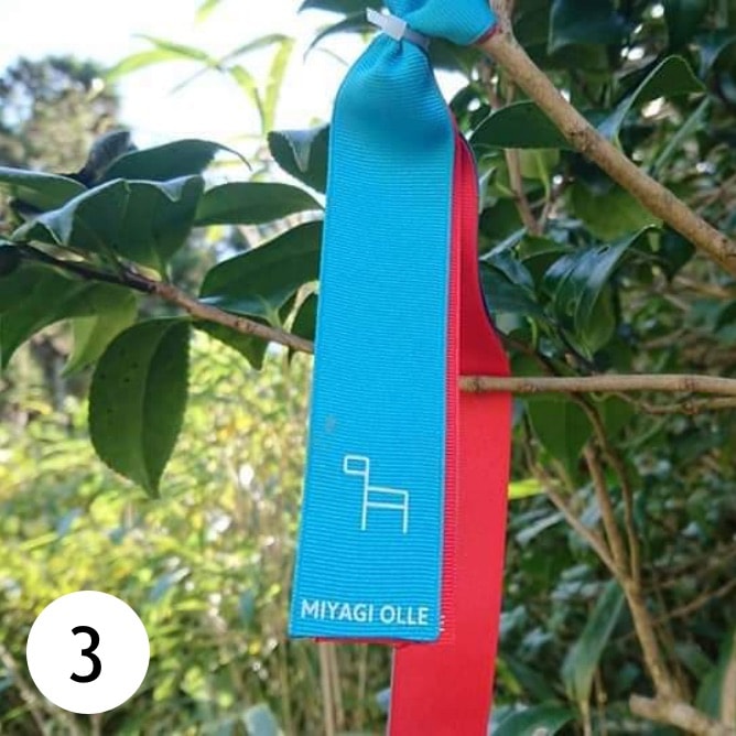
(3) The course will also be indicated by ribbons tied to tree branches and other objects on the course.
There is an e-bike station at the finish line, so you can use an e-bike to enjoy the pleasant breeze as you return to the starting point.
Half-day Course
Distance : About 10.2km
Travel time : About 4 hours and 19 minutes
Karakuwa Visitor Center, Tsunami Experience Hall
Learn More
(0.4km 10 minutes)
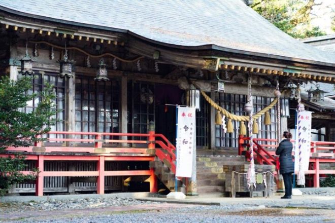
Osaki Shrine
Learn More
(0.1km 3 minutes)
Kujira Tzuka
Learn More
(0.5km 13 minutes)
Osaki Misaki
Learn More
(0.5km 13 minutes)

Onuma / Menuma
Learn More
(1.7km 43 minutes)
Kannokura Tsunami Stones
Learn More
(0.5km 13 minutes)
Yaemonzaka
Learn More
(0.3km 8 minutes)
Tsubaki Tunnel
Learn More
(0.9km 23 minutes)
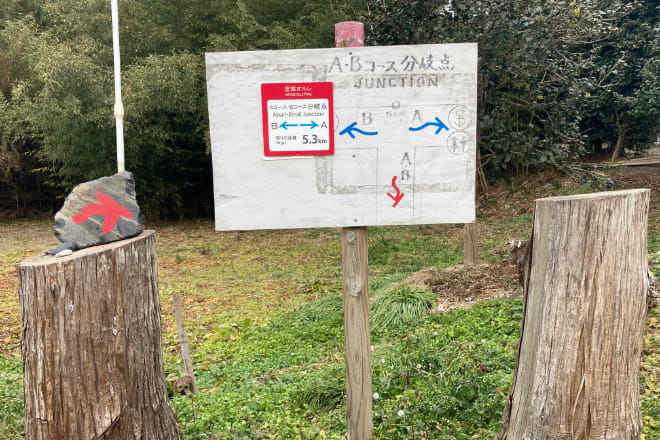
A Course / B Course Junction
Learn More
(1.3km 33 minutes)

Sasahama Fishing Port
Learn More
(2km 50 minutes)

Oreishi (Ogama)
Learn More
(2km 50 minutes)
Hanzō
Learn More
View More